CA ETRC P998-2023-037-002-095
·
Part
·
[1910]-[1930]
Part of Eastern Townships Resource Centre Graphic Material collection
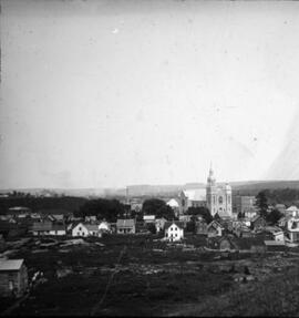
The part is a photograph of a snowy scene somewhere in Green Mountains, probably taken sometime between 1910 and 1930.